 Island guides
Islands of Bahamas
11 island guides (Bahamas), out of 79 well-known islands we know there.
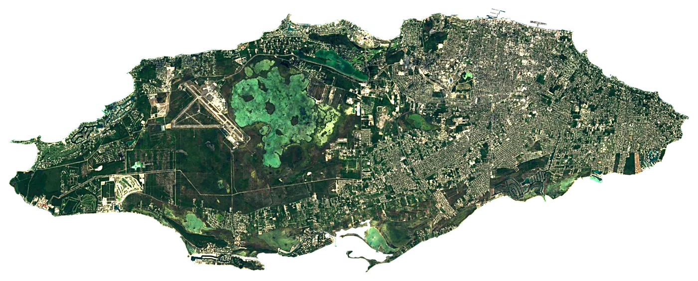 New ProvidenceBahamas213 km²6 m
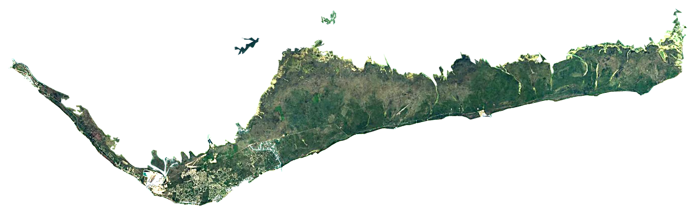 Grand BahamaBahamas876 km²5 m
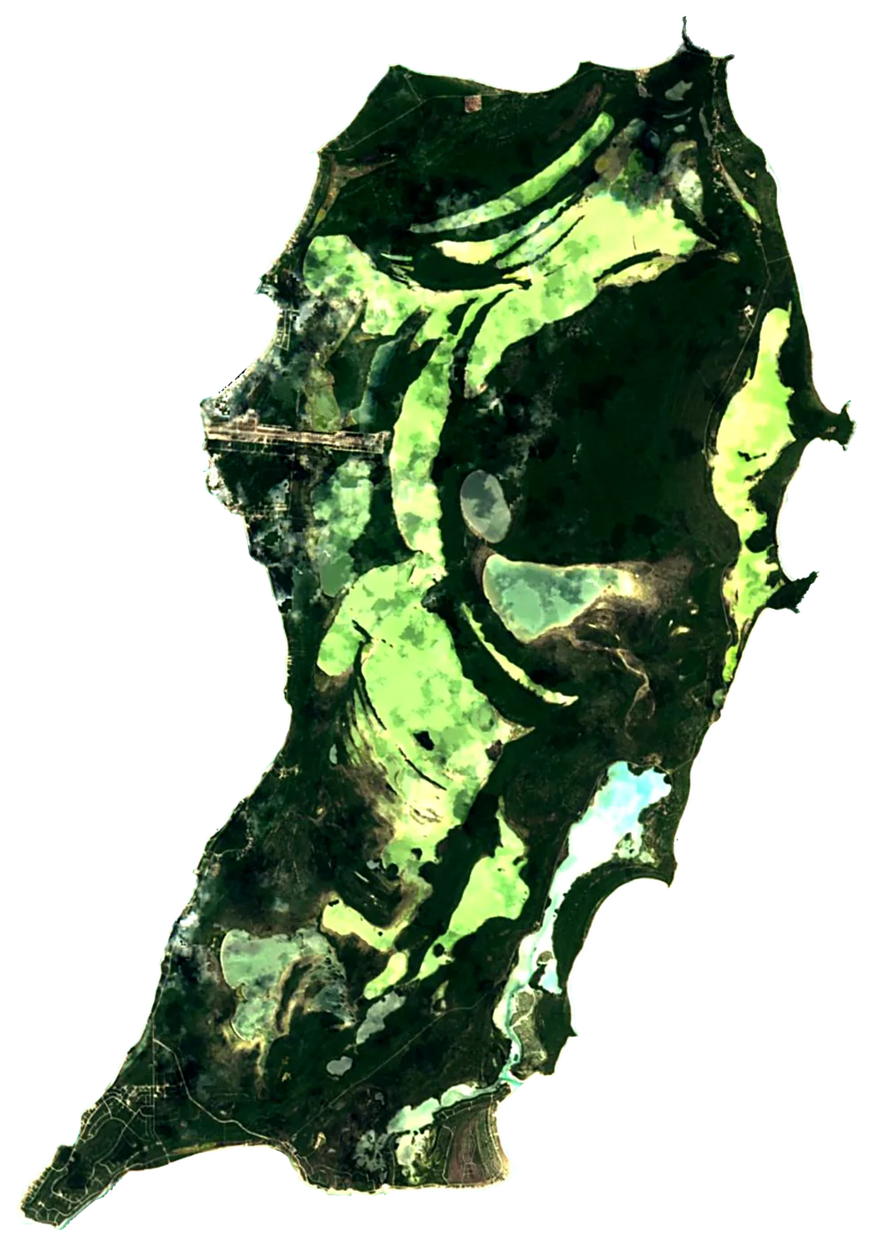 San Salvador IslandBahamas155 km²12 m
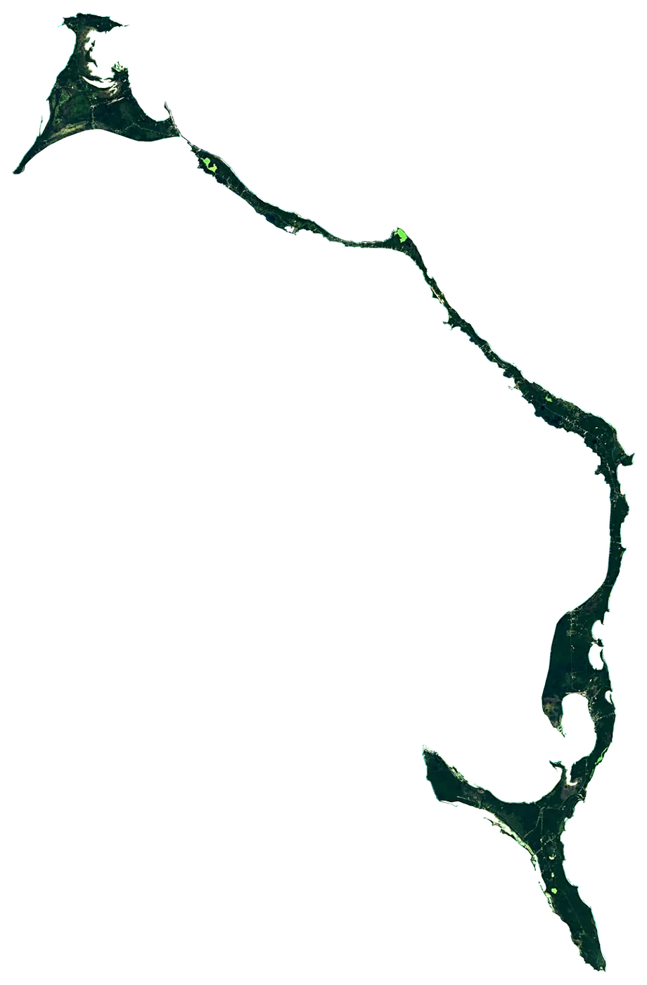 EleutheraBahamas416 km²61 m
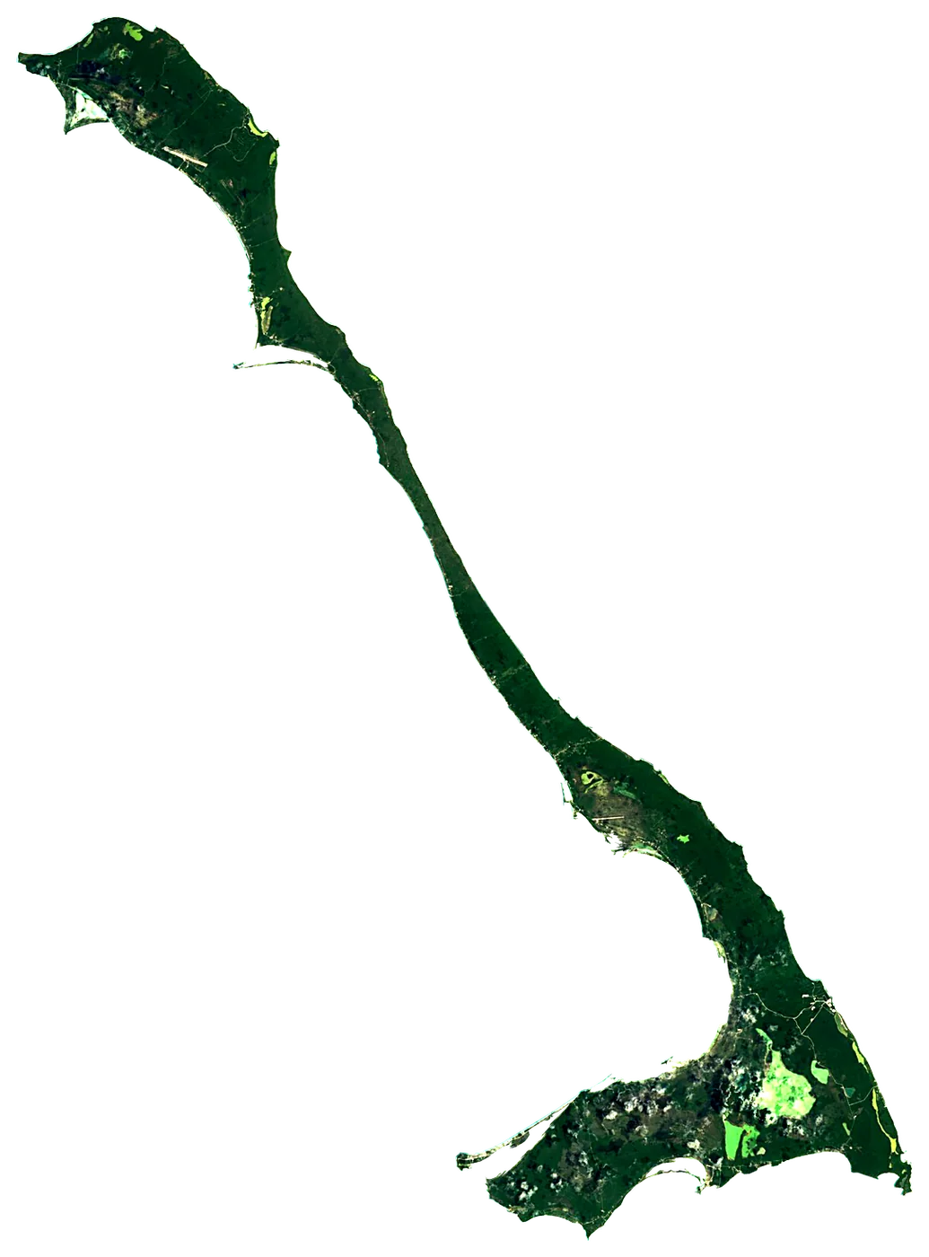 Cat IslandBahamas339 km²63 m
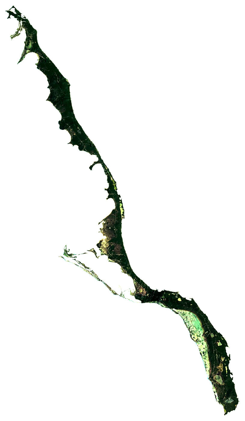 Long IslandBahamas413 km²43 m
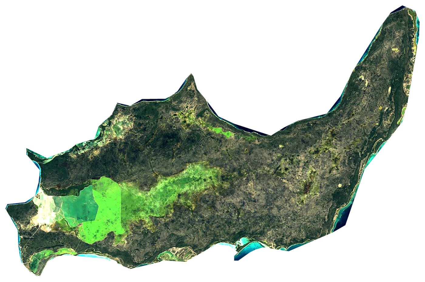 InaguaBahamas1,679 km²33 m
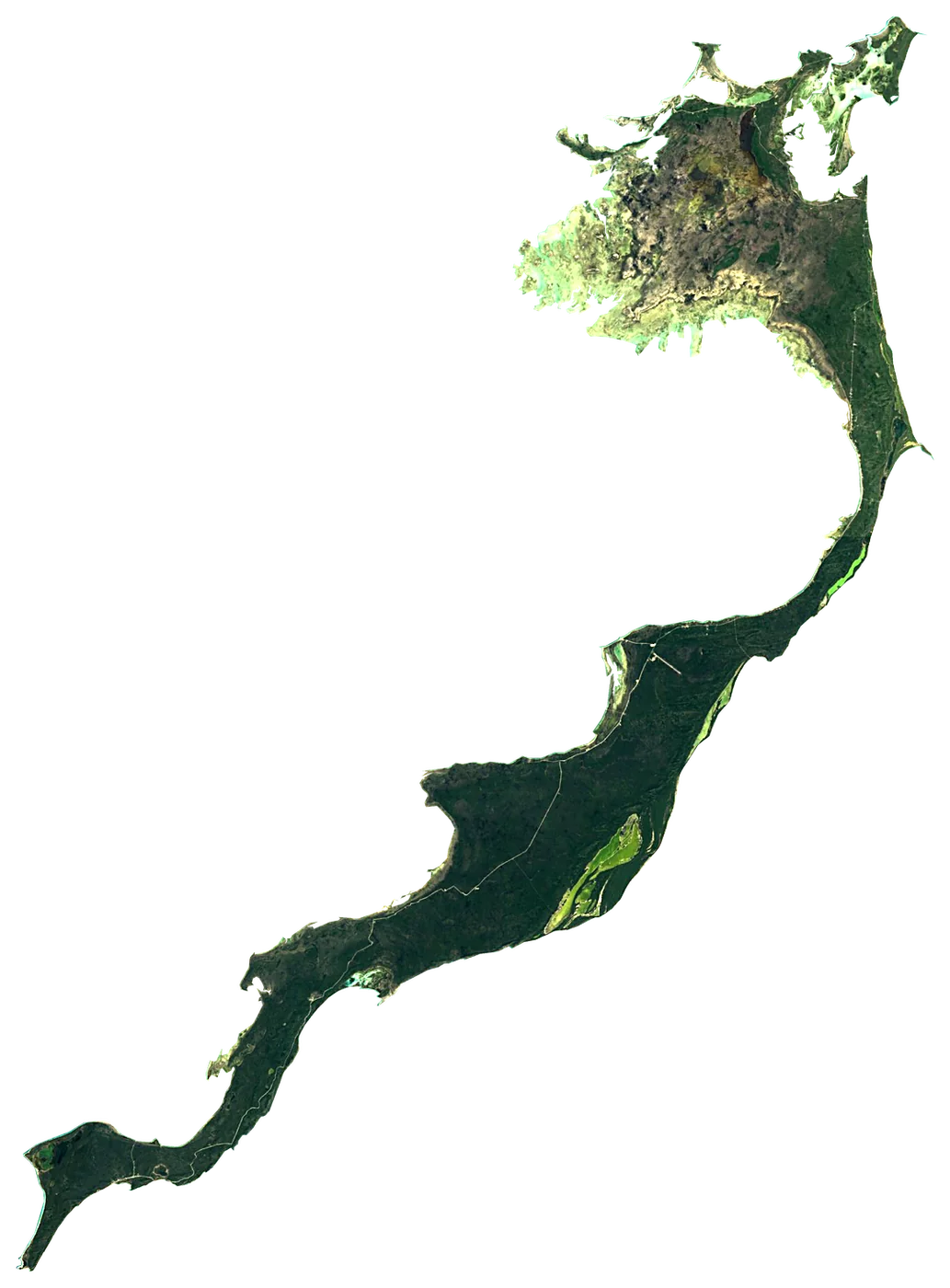 AcklinsBahamas457 km²6 m
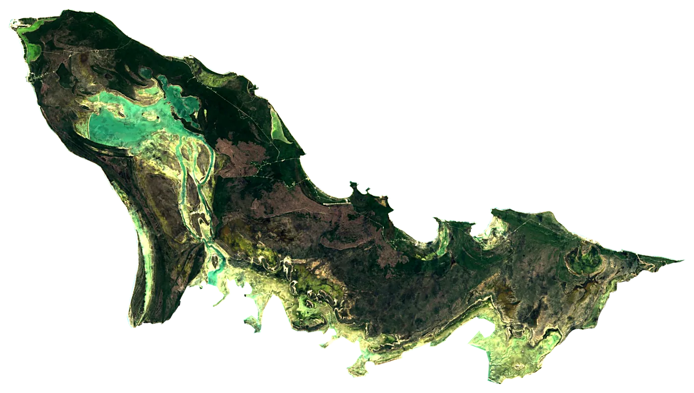 Crooked IslandBahamas263 km²38 m
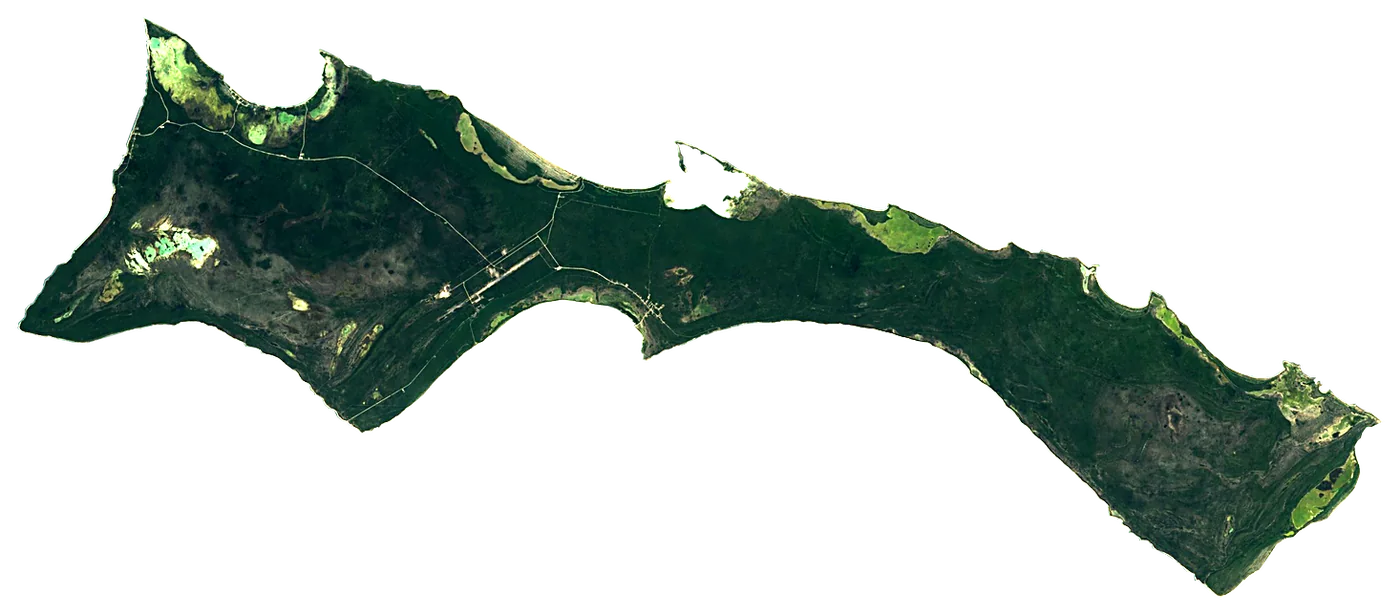 MayaguanaBahamas284 km²7 m
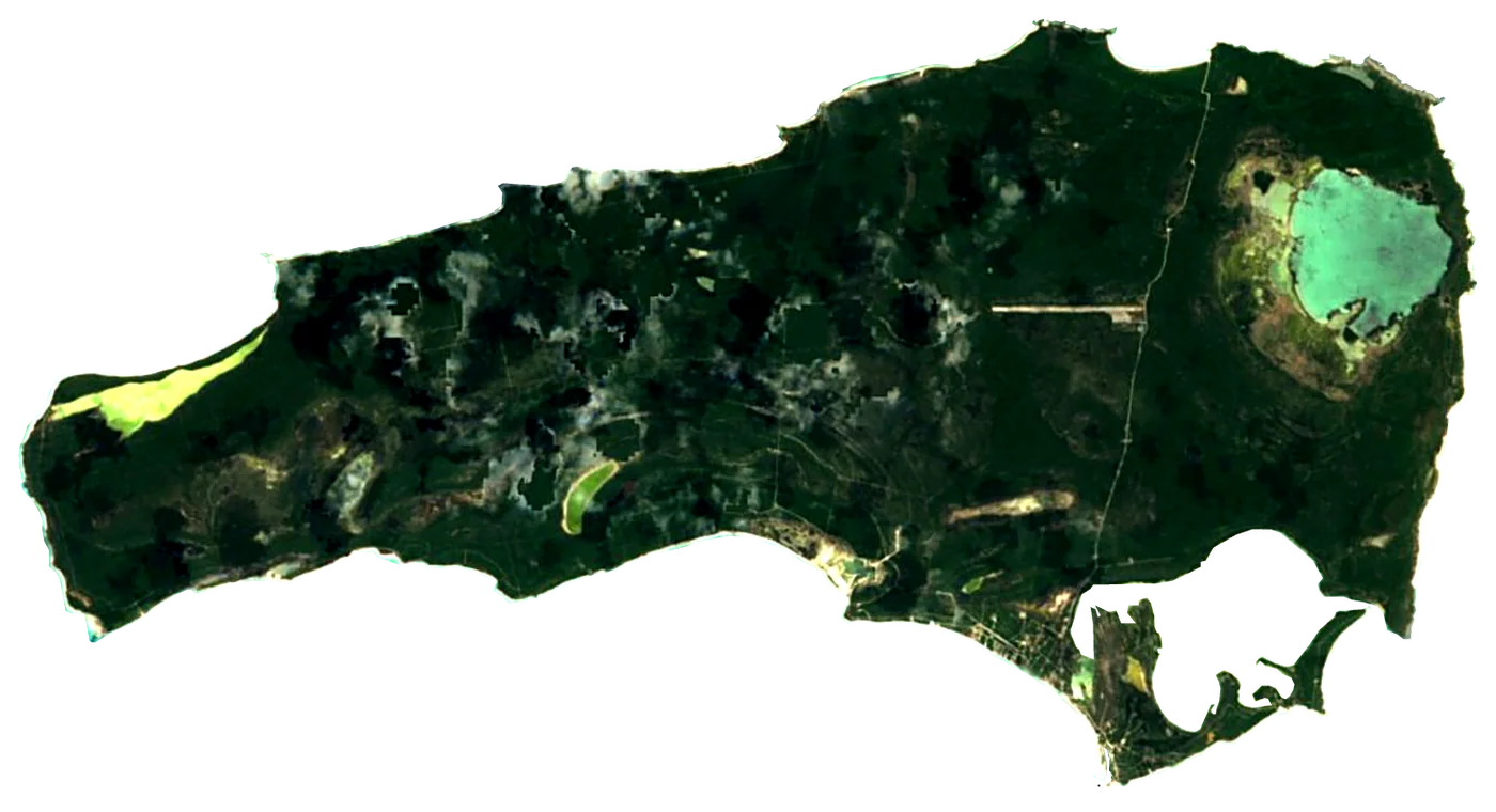 Rum CayBahamas77 km²6 m
Other well-known islands (Bahamas)
- South Andros Island1,448 km²
- North Andros Island3,439 km²
- Ragged Island23 km²
- Spanish Wells
- Harbour Island
- Paradise Island2.8 km²
- Grand Cay
- Castaway Cay4.0 km²
- Moore's Island
- Pig Beach0.90 km²
- Samana Cay45 km²
- Great Harbour Cay
- Little Inagua127 km²
- Green Turtle Cay
- Elbow Cay
- Walker's Cay0.40 km²
- Norman's Cay3.0 km²
- Long Cay21 km²
- Little Stirrup Cay0.50 km²
- Ocean Cay Marine Reserve0.38 km²
- Egg Island0.00 km²
- Great Abaco1,146 km²
- Little San Salvador Island
- Rose Island
- Windermere Island
- Joulter Cays
- Conception Island
- Sweeting Cay
- Staniel Cay1.4 km²
- Gun Cay
Plan the trip
Ferries, stays and things to do
Some links above are affiliate links: if you book through them we may earn a commission, at no extra cost to you. It never changes what the data on this page says.
The family
Do you prefer beaches, lakes, mountains, waterfalls, islands, rivers or canyons?
Same idea, other landscapes: field atlases built on open data, month by month, in seven languages.
 beaches
 Find your beach: sea temperature, sun and swimming month by month.Visit
  lakes
lakes Every lake on Earth: water temperature, ice, depth and the shore.Coming soonVisit
  mountains
 Every summit in 3D: summit weather, the 0 °C line, huts and trails.Visit
  waterfalls
 Every waterfall: height, flow month by month and when it roars.Coming soonVisit
  islands
 Every island from the sea up: size, sea temperature, ferries and 3D.You are here
 rivers
 Every river from source to sea: the journey, the flow and the basin in numbers.Visit
  canyons
 Every canyon cut to scale: depth to the floor, rim and floor temperatures, trails and viewpoints.Coming soonVisit