 Island guides
Islands of Marshall Islands
10 island guides (Marshall Islands), out of 60 well-known islands we know there.
 Bikini AtollMarshall Islands2.3 km²25 m
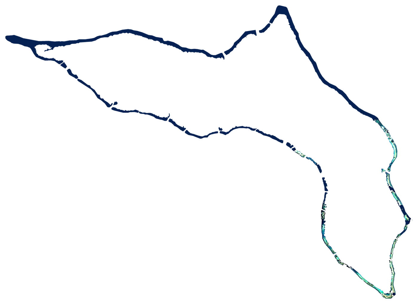 Kwajalein AtollMarshall Islands249 km²14 mEnewetak AtollMarshall Islands5.8 km²5 mJaluit AtollMarshall Islands11 km²3 mAilinglaplap AtollMarshall Islands15 km²3 mEbon AtollMarshall Islands5.8 km²25 mBokak AtollMarshall Islands81 km²3 mArno AtollMarshall Islands13 km²3 mRongelap AtollMarshall Islands8.0 km²3 mAiluk AtollMarshall Islands5.4 km²3 m
Other well-known islands (Marshall Islands)
- Maloelap Atoll9.8 km²
- Aur Atoll5.6 km²
- Mili Atoll15 km²
- Namu Atoll6.3 km²
- Namdrik Atoll2.8 km²
- Kili Island0.93 km²
- Likiep Atoll10 km²
- Ailinginae Atoll2.8 km²
- Utirik Atoll2.4 km²
- Lae Atoll1.5 km²
- Jabat Island0.57 km²
- Mejit Island1.9 km²
- Wotje Atoll8.2 km²
- Rongerik Atoll1.7 km²
- Lib Island0.93 km²
- Wotho Atoll4.3 km²
- Ujae Atoll1.9 km²
- Toke Atoll0.57 km²
- Ujelang Atoll1.9 km²
- Erikub Atoll1.5 km²
- Knox Atoll0.98 km²
- Bikar Atoll0.50 km²
- Jemo Island0.22 km²
- Ebeye Island0.36 km²
- Runit0.44 km²
- Roi-Namur
- Omelek Island0.03 km²
- Jabor
- Meck Island0.22 km²
- Gugeegue
Plan the trip
Ferries, stays and things to do
Some links above are affiliate links: if you book through them we may earn a commission, at no extra cost to you. It never changes what the data on this page says.
The family
Do you prefer beaches, lakes, mountains, waterfalls, islands, rivers or canyons?
Same idea, other landscapes: field atlases built on open data, month by month, in seven languages.
 beaches
 Find your beach: sea temperature, sun and swimming month by month.Visit
  lakes
lakes Every lake on Earth: water temperature, ice, depth and the shore.Coming soonVisit
  mountains
 Every summit in 3D: summit weather, the 0 °C line, huts and trails.Visit
  waterfalls
 Every waterfall: height, flow month by month and when it roars.Coming soonVisit
  islands
 Every island from the sea up: size, sea temperature, ferries and 3D.You are here
 rivers
 Every river from source to sea: the journey, the flow and the basin in numbers.Visit
  canyons
 Every canyon cut to scale: depth to the floor, rim and floor temperatures, trails and viewpoints.Coming soonVisit