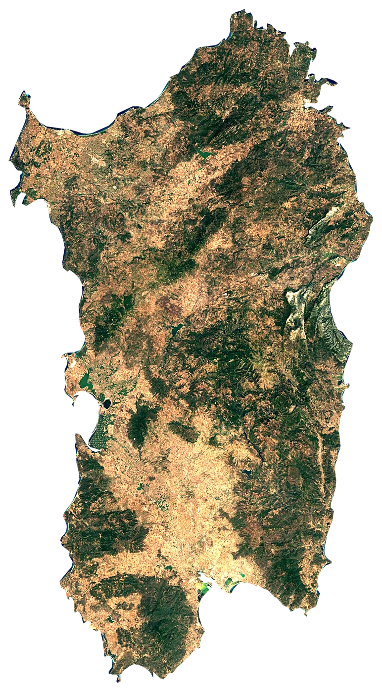
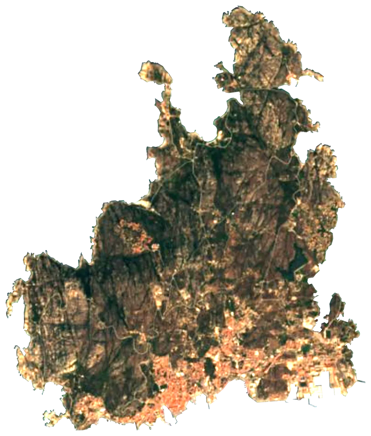
Satellite: Sentinel-2 cloudless 2016 by EOX (CC BY 4.0). Outline and points © OpenStreetMap contributors / Natural Earth. North up.
In numbers
23,813km²
Area
1,021km
Coastline
measured on a simplified outline
1,778m
Highest point
1,628,384
People
25°C
Warmest sea
August
164km
To the mainland
When to go to Sardinia
Best for the beach from June to September.
The sea is warmest in August (25 °C) and coolest in February (14 °C). Comfortable swimming (21 °C or more): from June to October.
Averages 1991–2020. Sea: NOAA OISST, the water within 35 km of the coast. Air, rain and sun: NASA POWER. Best months weigh warm afternoons (23–30 °C), sea of 24 °C or more and few wet days.
Island in the Mediterranean Sea, and the main island in the Italian region of the same name
Sardinia is an island in Italy. It covers 23,813 km², with 1,021 km of coastline. Its highest point rises to 1,778 m. About 1,628,384 people live on it. The nearest mainland is 164 km away.
Getting there
- Cagliari Elmas Airport (CAG)main airport (3 on the island with scheduled flights)Car hire at CAG airport (Cagliari)Discover Cars · Affiliate link↗
- FerriesCivitavecchia - Olbia, Bonifacio - Santa Teresa di Gallura, Stintino-Fornelli (Asinara), Cagliari - Arbatax
- 164 km from the mainlanddistance to the nearest continental coast
- From June to Septemberbest months to go (from 30 years of averages)
Plan the trip
Ferries, stays and things to do
Some links above are affiliate links: if you book through them we may earn a commission, at no extra cost to you. It never changes what the data on this page says.
On the island
What you find on Sardinia.
- 645beachesLa Caletta, Il Pevero, Oasi # 3 and 642 more
- 665viewpointsPunta Perda de Sa Mesa, Belvedere, Monte Lopene and 662 more
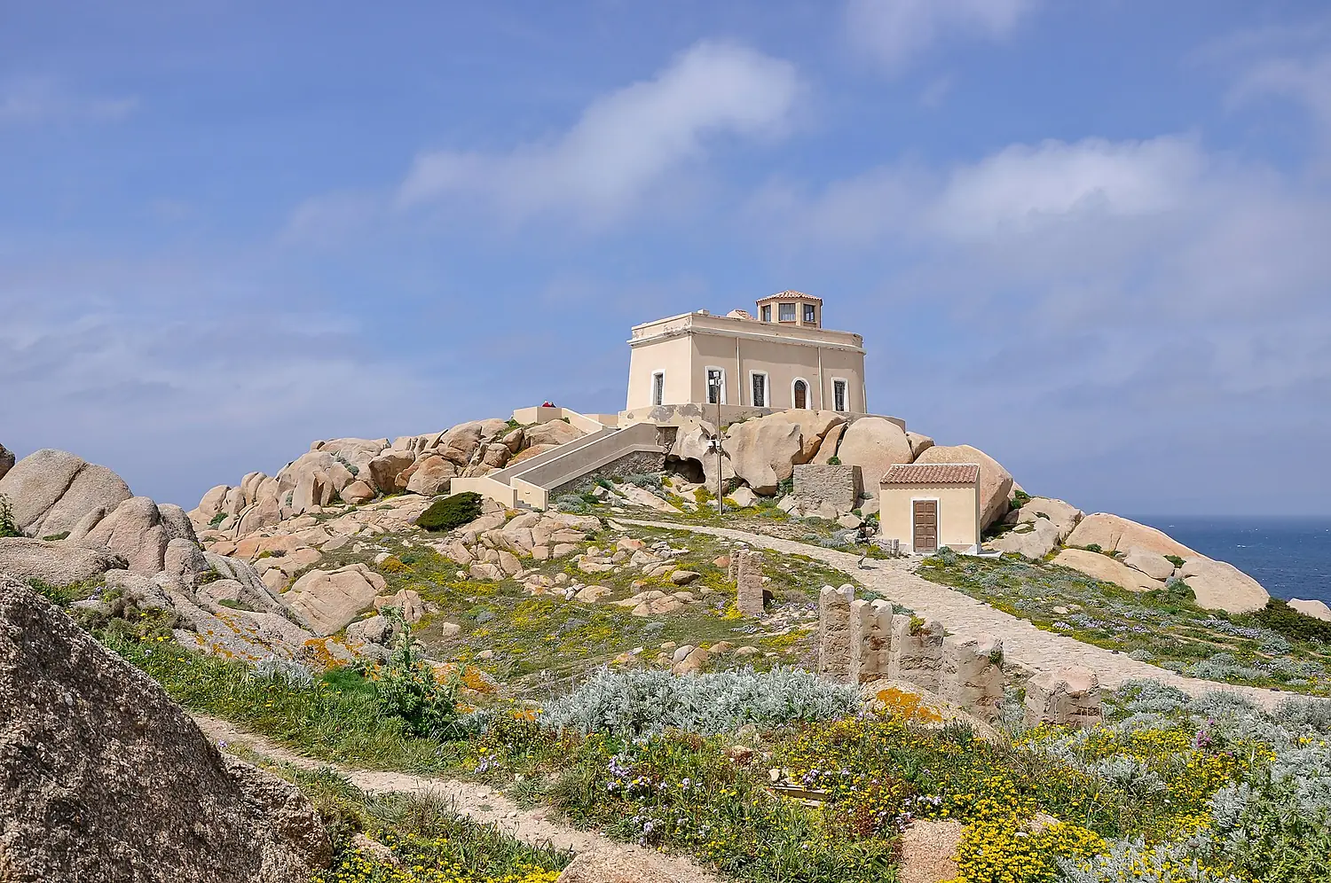
- 17lighthousesFaro di Capo Ferrato, Faro Capo San Marco, Faro di Punta Palau and 14 more
- 25ferry terminalsPortovesme, Imbarco No. 1, Imbarco La Maddalena and 22 more
- 74marinasSanta Teresa Gallura (marina di Longonsardo), Marina di Porto Rotondo, Buggeru Small Marina and 71 more
- 2,189named peaksPunta della Croce, Bruncu Spina, Monte Corrasi and 2,186 more
- 1volcanoesVolcanic Vent Altopiano di Teccu
- 138waterfallsCascata maggiore, Piscina Irgas, Cascata di Sa Entale and 135 more
- 59castles and fortsFortezza Monte Altura, Castello dei Doria, Castello di Monteleone Rocca Doria and 56 more
- 2,798ruins and archaeological sitesArea archeologica Flumene, Dolmen di Ladas, Dolmen Ciuledda and 2,795 more
- 18dive centresNautilus Diving Center, Ogliastra Diving, Bosa Diving Center and 15 more
- 7surf spotsWest coast board shop, Spot de surf, S' Arena Scoada and 4 more
- 550waymarked walking routesMontarbu - Anello di Perda Liana, Anello Buggerru, Su Mudregu and 547 more
- 180campsitesSaraceno, Sardegna, Selema Camping and 177 more
- 1,452hotels, guesthouses and apartments
- 4,947restaurants, cafés and bars
Counted in OpenStreetMap, the map anyone can edit, inside the island's outline. A low number may only mean nobody has mapped it yet.
Cross-checked with our atlases
Sardinia in our other atlases
Everything Coastya, Peakyas, Lakeyas and Cascadyas know about what lies inside Sardinia, each with its own numbers.
 303beaches and covesCoastya
 17lakesLakeyas
 9waterfallsCascadyas
Tallest waterfall
72m
Muru Mannu
according to Cascadyas
Largest lake
12.8km²
Stagno di Cagliari
according to Lakeyas
Deepest lake
80m
Gusana
according to Lakeyas
Warmest lake
29.9°C
Lago dell'Alto Temo
surface water, warmest month · according to Lakeyas
Beach with the warmest sea
26.2°C
Spiaggia di Foxi Murdegu
sea in the warmest month · according to Coastya
303 beaches
on Coastya, the beach atlas
- Cala Fuili25.9°C
- Spiaggia del Poetto25.6°C
- Spiaggia di Quartu25.6°C
- Spiaggia del Porto di Villasimius25.9°C
- Spiaggia di Simius25.9°C
- Spiaggia del Lido di Orrì26.2°C
- Spiaggia delle Rocce Rosse26.2°C
- Calabona24.7°C
295 more on CoastyaOpen Coastya ↗
17 lakes
on Lakeyas, the lake atlas
- Stagno di Cagliari12.8km²
- Lake Omodeo60 m deep12.6km²
- Lake Coghinas50 m deep9.9km²
- Lake Liscia2.4km²
- Lago di Mulargia2.2km²
- Gusana80 m deep1.7km²
- Estany del Càlic2 m deep0.73km²
- Lago di Baratz10 m deep0.26km²
9 more on LakeyasLakeyas is coming soonOpen Lakeyas ↗
9 waterfalls
on Cascadyas, the waterfall atlas
- Muru Mannu72m
- Piscina Irgas45m
- Sa Spendula
- Cascata Lequarci
- Sos Molinos Waterfalls
- Massabari Waterfall
- Predas Rujas Waterfalls
- cascades de Lecorci
1 more on CascadyasCascadyas is coming soonOpen Cascadyas ↗
The shape of the land.
On average the island stands 340 m above the sea. 38 % of it is below 200 m.
- 14 %0–50 m
- 24 %50–200 m
- 36 %200–500 m
- 23 %500–1,000 m
- 2 %1,000–2,000 m
Share of the island's area in each altitude band, from the Copernicus DEM (30 m, read at 30–240 m on large islands).
Size, for real
Next to islands you may know.
200 km
All outlines drawn to the same scale (Natural Earth and OpenStreetMap).
Towns on the island
- Cagliari149,257 people
- Sassari91,895 people
- Quartu Sant'Elena66,620 people
- Olbia60,345 people
- Monte Rosello45,000 people
- Nuoro35,948 people
- Alghero34,261 people
- Oristano31,671 people
- Assemini25,257 people
- Selargius23,285 people
- Iglesias22,659 people
- Carbonia21,664 people
Month by month
The weather on the island.
| Jan | Feb | Mar | Apr | May | Jun | Jul | Aug | Sep | Oct | Nov | Dec | |
|---|---|---|---|---|---|---|---|---|---|---|---|---|
| Afternoon high (°C) | 10 | 11 | 14 | 17 | 22 | 28 | 32 | 32 | 26 | 21 | 15 | 11 |
| Night low (°C) | 3 | 3 | 4 | 7 | 11 | 15 | 18 | 18 | 14 | 11 | 8 | 4 |
| Sea (°C) | 14 | 14 | 14 | 15 | 18 | 21 | 24 | 25 | 24 | 21 | 18 | 16 |
| Rain (mm) | 46 | 41 | 40 | 43 | 32 | 11 | 4 | 12 | 37 | 50 | 79 | 58 |
| Wet days | 8 | 8 | 7 | 8 | 6 | 2 | 1 | 3 | 6 | 8 | 11 | 10 |
| Sun h/day | 3.8 | 4.9 | 6.2 | 7.5 | 9.3 | 11.4 | 12.2 | 10.8 | 8.0 | 6.3 | 4.2 | 3.7 |
| Wind (km/h) | 18 | 18 | 18 | 16 | 15 | 12 | 12 | 12 | 13 | 14 | 16 | 18 |
Averages 1991–2020 for the ~55 km NASA POWER cell over the island; the sea from NOAA OISST.
Recent years
Warmer and cooler years at sea.
Each month's sea temperature compared with its 1991–2020 average, in degrees.
| Jan | Feb | Mar | Apr | May | Jun | Jul | Aug | Sep | Oct | Nov | Dec | |
|---|---|---|---|---|---|---|---|---|---|---|---|---|
| 2020 | +0.8 | +0.9 | +0.6 | +0.9 | +1.3 | +0.4 | +1.2 | +1.0 | +1.5 | −0.4 | +0.2 | +0.6 |
| 2021 | +0.2 | +0.5 | +0.5 | +0.2 | −0.1 | +1.0 | +0.8 | +0.6 | +1.4 | +1.3 | +1.4 | +0.2 |
| 2022 | +0.5 | +0.6 | ±0.0 | −0.2 | +1.4 | +2.2 | +2.6 | +2.2 | +2.0 | +1.5 | +2.1 | +1.6 |
| 2023 | +1.3 | +0.6 | +0.6 | +0.6 | +0.3 | +1.5 | +1.7 | +0.4 | +0.7 | +2.5 | +1.5 | +0.7 |
| 2024 | +0.8 | +1.2 | +0.9 | +0.8 | +1.1 | +0.8 | +1.1 | +1.7 | +0.3 | +0.3 | +1.8 | +1.2 |
| 2025 | +1.0 | +1.1 | +1.0 | +1.0 | +1.2 | +2.5 | +2.1 | +1.0 | +1.8 | +1.8 | +1.6 | +1.5 |
+1 warmer than usual −1 cooler than usual
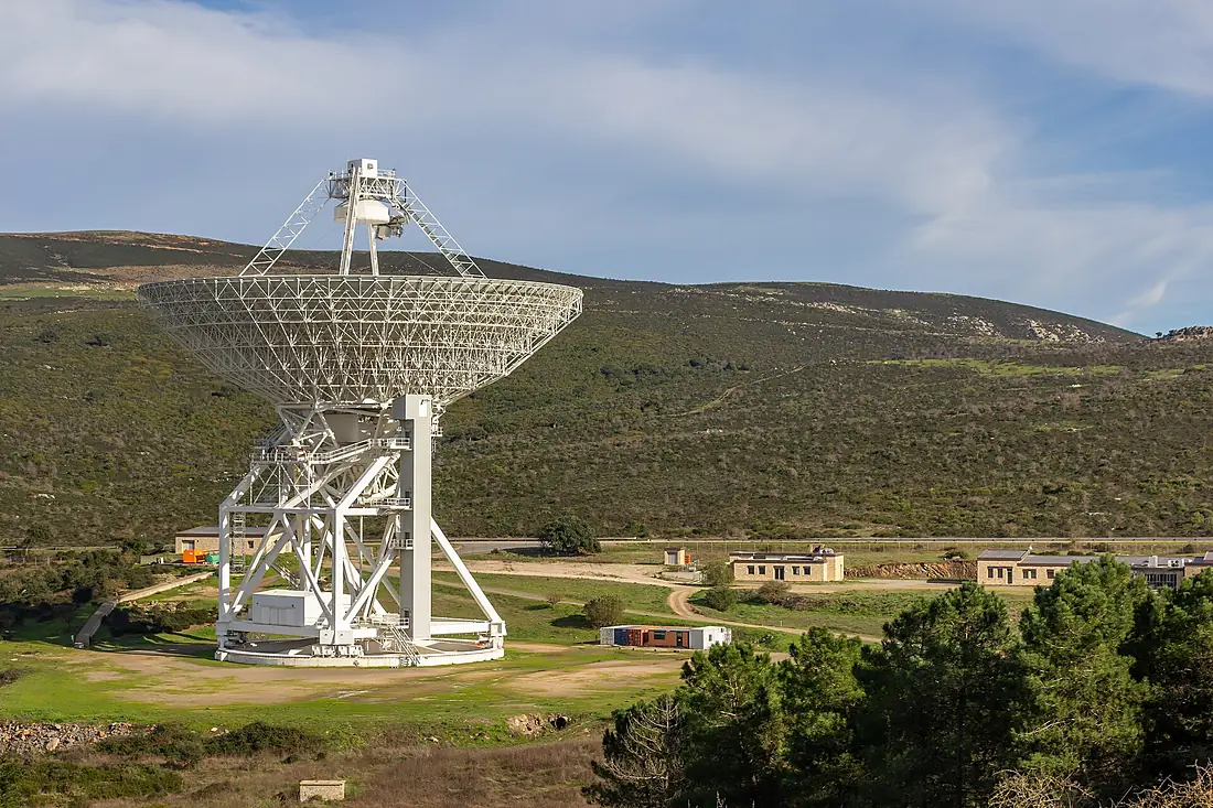
Photos
Seen by visitors.
Nearby
More islands nearby.
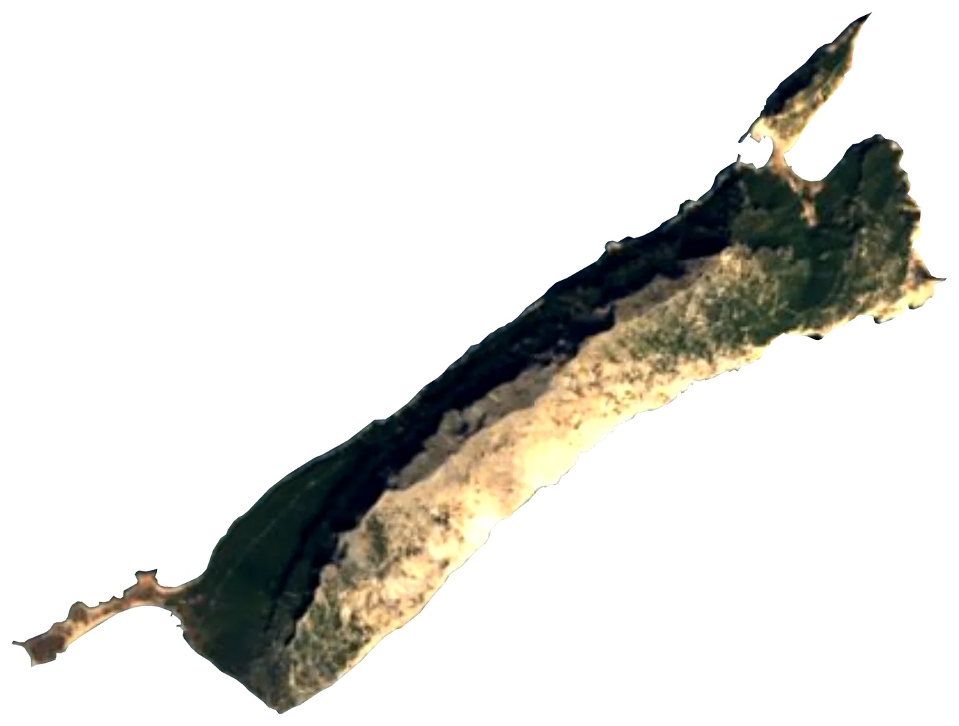
 La Maddalena
 Italy20 km²153 m135 km away
 Tavolara IslandItaly5.9 km²565 m109 km away
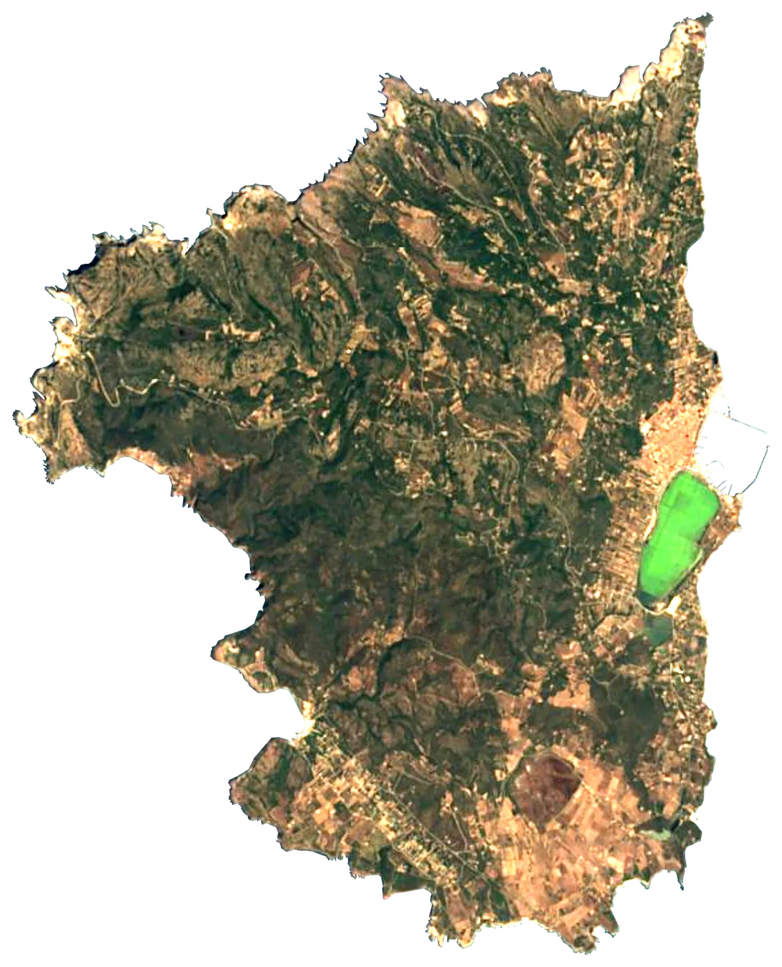 San Pietro IslandItaly51 km²211 m122 km away
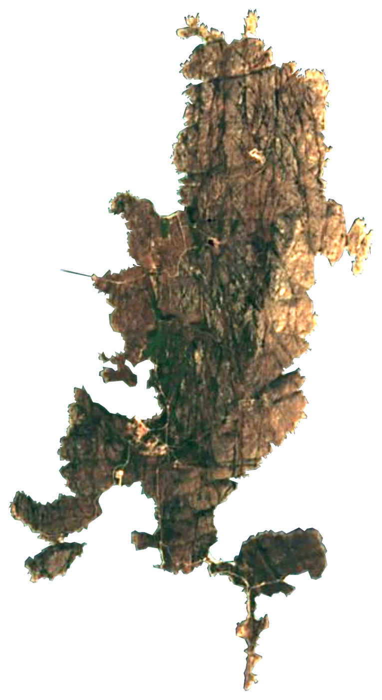 CapreraItaly15 km²193 m132 km away
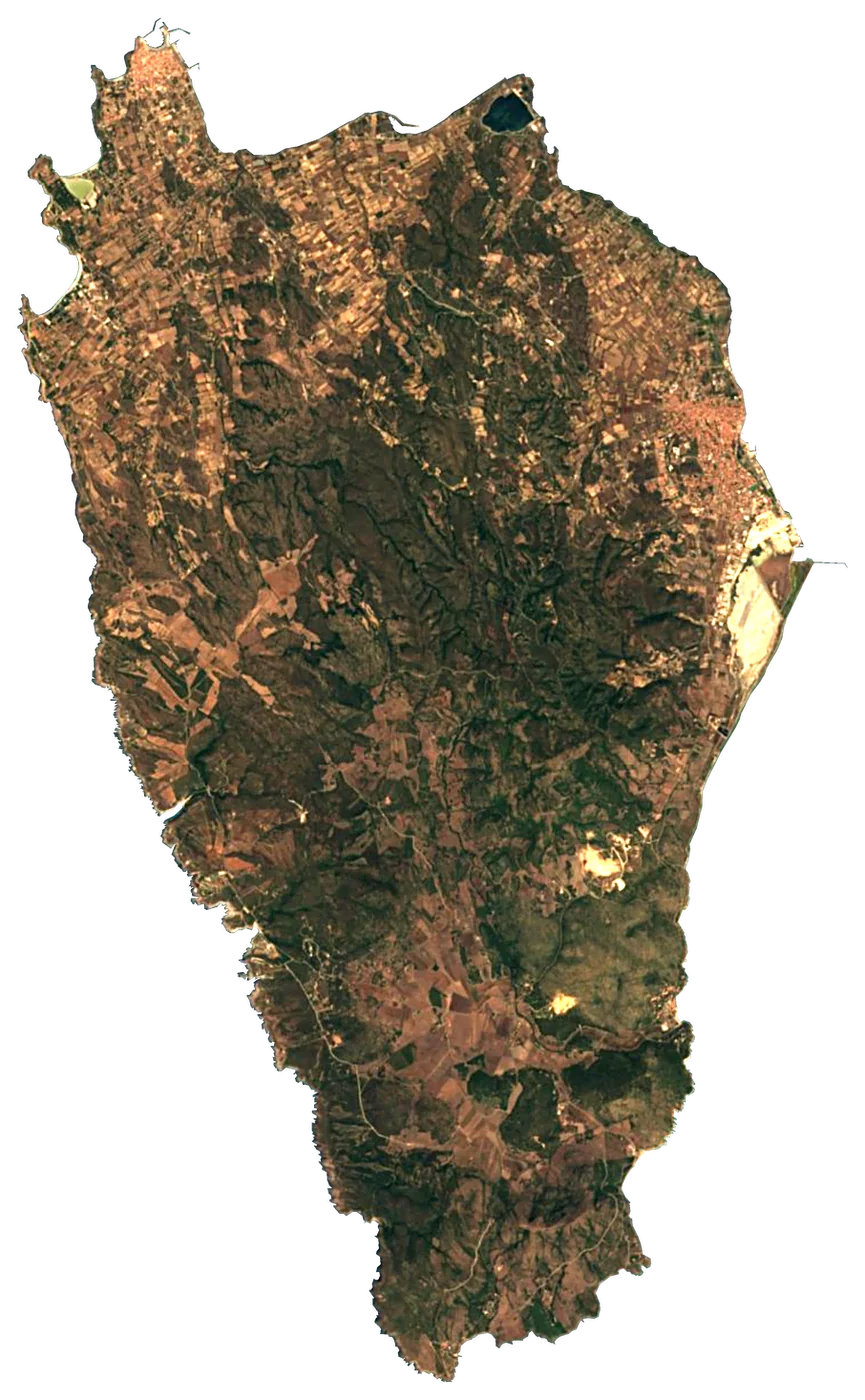 Ìsola di Sant'AntìocoItaly111 km²267 m127 km away
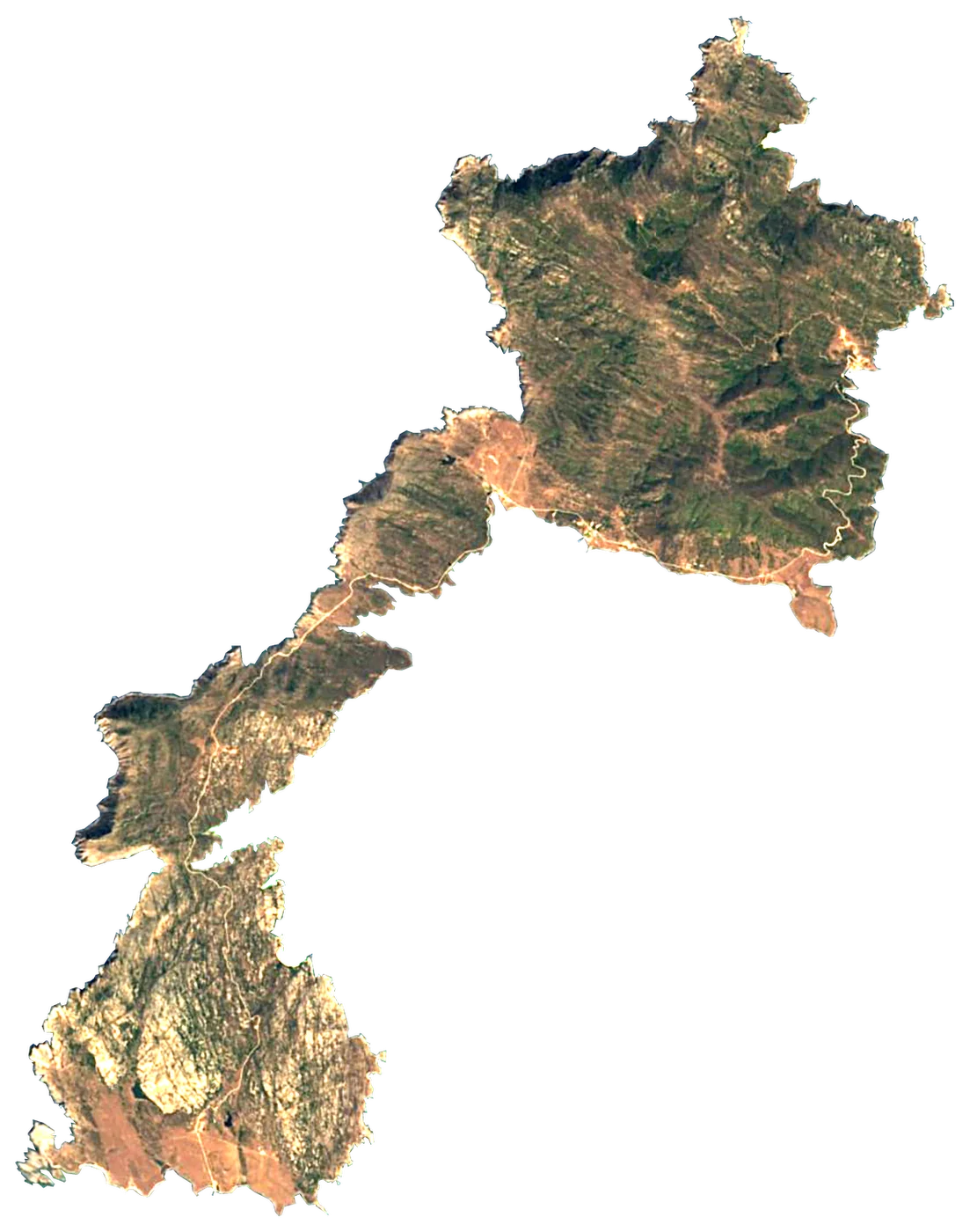 AsinaraItaly51 km²408 m132 km away
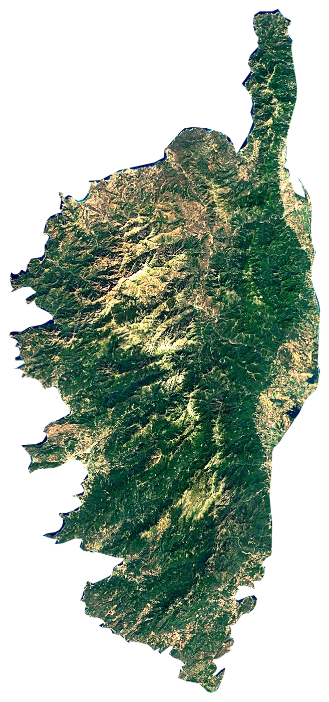 Corsica
 France8,741 km²2,706 m234 km away
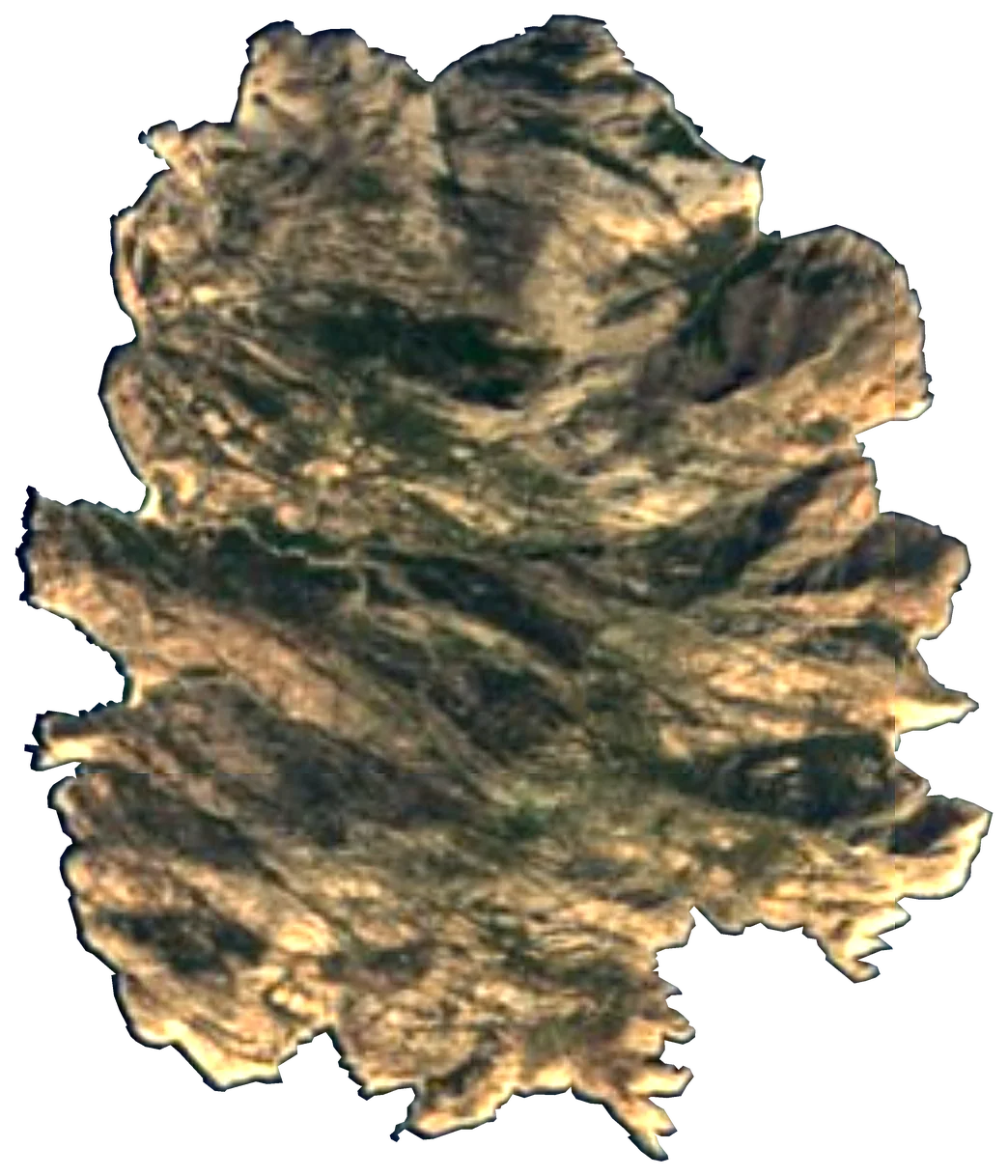 MontecristoItaly10 km²645 m274 km away
About these numbers
| Names, area, population | Wikidata (Q19740031) · CC0 |
|---|---|
| Outline | Natural Earth · public domain |
| Sea temperature | NOAA OISST v2.1 · 1991–2020 |
| Climate | NASA POWER · 1991–2020 |
| Relief, 3D model | Copernicus DEM GLO-30 · © DLR e.V., © Airbus Defence and Space GmbH, Copernicus/ESA |
| Beaches, ports, lighthouses, trails | © OpenStreetMap contributors · ODbL |
| Towns | GeoNames · CC BY 4.0 |
| Images | EOX Sentinel-2 cloudless 2016 · CC BY 4.0; Wikimedia Commons |
| Beaches, mountains, lakes and waterfalls | Coastya, Lakeyas, Cascadyas — Wikidata · CC0; © OpenStreetMap contributors · ODbL; GeoNames · CC BY 4.0; NOAA OISST; HydroLAKES (Messager et al. 2016) · CC BY 4.0, LakeTEMP (Korver et al. 2024) · CC BY 4.0 |
Every figure is an average, an estimate or a count from a public dataset. Licences and methods: data sources.
The family
Do you prefer beaches, lakes, mountains, waterfalls, islands, rivers or canyons?
Same idea, other landscapes: field atlases built on open data, month by month, in seven languages.
beaches Find your beach: sea temperature, sun and swimming month by month.Visit lakes
 Every lake on Earth: water temperature, ice, depth and the shore.Coming soonVisit
  mountains
 Every summit in 3D: summit weather, the 0 °C line, huts and trails.Visit waterfalls
 Every waterfall: height, flow month by month and when it roars.Coming soonVisit
  islands
 Every island from the sea up: size, sea temperature, ferries and 3D.You are here
 rivers
 Every river from source to sea: the journey, the flow and the basin in numbers.Visit
  canyons
 Every canyon cut to scale: depth to the floor, rim and floor temperatures, trails and viewpoints.Coming soonVisit