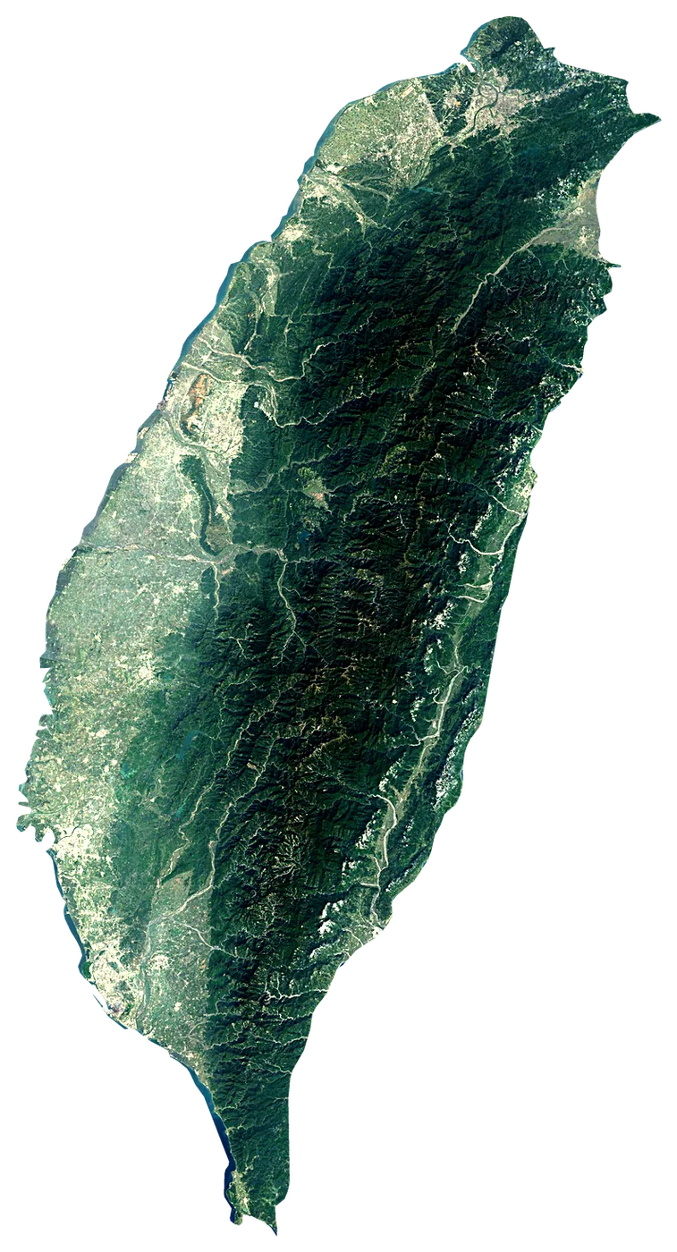
Satellite: Sentinel-2 cloudless 2016 by EOX (CC BY 4.0). Outline and points © OpenStreetMap contributors / Natural Earth. North up.
In numbers
35,883km²
Area
1,022km
Coastline
measured on a simplified outline
3,952m
Highest point
Yushan Main Peak
23,894,394
People
29°C
Warmest sea
July
41km
To the mainland
When to go to Taiwan Island
Best for the beach from May to September.
The sea is warmest in July (29 °C) and coolest in February (22 °C). You can swim comfortably all year (21 °C or more).
Averages 1991–2020. Sea: NOAA OISST, the water within 35 km of the coast. Air, rain and sun: NASA POWER. Best months weigh warm afternoons (23–30 °C), sea of 24 °C or more and few wet days.
Island in East Asia; main land of the Republic of China (Taiwan)
Taiwan Island is an island in Taiwan. It covers 35,883 km², with 1,022 km of coastline. Its highest point, Yushan Main Peak, rises to 3,952 m. About 23,894,394 people live on it. The nearest mainland is 41 km away.
Getting there
- Taichung International Airport / Ching Chuang Kang Air Base (RMQ)main airport (8 on the island with scheduled flights)Car hire in TaichungDiscover Cars · Affiliate link↗
- FerriesKaohsiung - Penghu Chimei, Kaosiong-Dongsha, Kaohsiung - Magong
- 41 km from the mainlanddistance to the nearest continental coast
- From May to Septemberbest months to go (from 30 years of averages)
Plan the trip
Ferries, stays and things to do
Some links above are affiliate links: if you book through them we may earn a commission, at no extra cost to you. It never changes what the data on this page says.
On the island
What you find on Taiwan Island.
- 126beachesBanxia Beach, Little Bay, South bay beach and 123 more
- 2,013viewpointsShisun peak, Scenic Platform, Skyward Pavilion and 2,010 more
- 41lighthouses
- 60ferry terminalsBiTan Ferry, Dadaocheng Wharf, Dajia Wharf and 57 more
- 119marinasChiang Kai-shek Pier and 118 more
- 4,619named peaksBeiLingJiao Mountain, Yushan East Peak, Yushan North Peak and 4,616 more
- 36volcanoesSmall oil pit, Wu shan mud volcano and 34 more
- 465waterfallsShifen Waterfall, Matsuzaka Falls, Yunlong Waterfall and 462 more
- 27castles and fortsUhrshawan Battery, The Hobe Fort and 25 more
- 832ruins and archaeological sitesIstasipal Village, Japanese Army Camp Site, Cliff Outpost and 829 more
- 8dive centresI diving and 7 more
- 2surf spotscowabunga!
- 917waymarked walking routesOld TianMu Hiking Trail and 916 more
- 712campsitesHeliu Camping Ground and 711 more
- 3,583hotels, guesthouses and apartments
- 44,626restaurants, cafés and bars
Counted in OpenStreetMap, the map anyone can edit, inside the island's outline. A low number may only mean nobody has mapped it yet.
Cross-checked with our atlases
Taiwan Island in our other atlases
Everything Coastya, Peakyas, Lakeyas and Cascadyas know about what lies inside Taiwan Island, each with its own numbers.
 15beaches and covesCoastya
 24lakesLakeyas
 54waterfallsCascadyas
Tallest waterfall
160m
Xiangyang waterfall
according to Cascadyas
Largest lake
7.6km²
Feicui Reservoir
according to Lakeyas
Deepest lake
27m
Sun Moon Lake
according to Lakeyas
Warmest lake
31.7°C
Hutoupi Lake
surface water, warmest month · according to Lakeyas
Beach with the warmest sea
29.4°C
sea in the warmest month · according to Coastya
15 beaches
on Coastya, the beach atlas
- Kunshen Haishui Yuchang29.4°C
- Nanliao Haishui Yuchang28.4°C
- Bali Haishui Yuchang28.6°C
- Nanwan Youqiqu29.2°C
- Xiziwan Haishui Yuchang29.3°C
- Tongxiao Haishui Yuchang28.5°C
- Ta-an Bathing Beach28.5°C
- Qiding Haishui Yuchang28.4°C
7 more on CoastyaOpen Coastya ↗
24 lakes
on Lakeyas, the lake atlas
- Feicui Reservoir7.6km²
- Sun Moon Lake27 m deep7.0km²
- Wusanto Reservoir5.6km²
- Shimen Reservoir5.5km²
- Chengcing Lake0.97km²
- Lantan Lake0.49km²
- Lotus Pond0.44km²
- Techi Reservoir0.29km²
16 more on LakeyasLakeyas is coming soonOpen Lakeyas ↗
54 waterfalls
on Cascadyas, the waterfall atlas
- Yuntan Waterfall35m
- Shifen waterfall20m
- Jiao Lung Waterfall
- Wulai Waterfall
- Wufengqi Waterfall
- Penglai Waterfall
- Xiao Wulai Waterfall
- Loshan Waterfall
46 more on CascadyasCascadyas is coming soonOpen Cascadyas ↗
The shape of the land.
On average the island stands 778 m above the sea. 38 % of it is below 200 m.
- 22 %0–50 m
- 16 %50–200 m
- 15 %200–500 m
- 15 %500–1,000 m
- 20 %1,000–2,000 m
- 12 %> 2,000 m
Share of the island's area in each altitude band, from the Copernicus DEM (30 m, read at 30–240 m on large islands).
Size, for real
Next to islands you may know.
200 km
All outlines drawn to the same scale (Natural Earth and OpenStreetMap).
Towns on the island
- Taipei7,871,900 people
- New Taipei City4,004,367 people
- Taichung2,850,285 people
- Kaohsiung2,737,660 people
- Tainan1,856,642 people
- Banqiao551,221 people
- Taoyuan475,798 people
- Hsinchu453,536 people
- Keelung362,487 people
- Fengshan356,463 people
- Neihu274,538 people
- Chiayi City263,188 people
Month by month
The weather on the island.
| Jan | Feb | Mar | Apr | May | Jun | Jul | Aug | Sep | Oct | Nov | Dec | |
|---|---|---|---|---|---|---|---|---|---|---|---|---|
| Afternoon high (°C) | 15 | 17 | 19 | 22 | 24 | 25 | 26 | 25 | 24 | 22 | 19 | 16 |
| Night low (°C) | 7 | 8 | 9 | 12 | 16 | 17 | 18 | 18 | 17 | 14 | 12 | 8 |
| Sea (°C) | 22 | 22 | 23 | 25 | 27 | 28 | 29 | 29 | 28 | 27 | 25 | 24 |
| Rain (mm) | 75 | 69 | 99 | 114 | 261 | 295 | 210 | 327 | 287 | 130 | 106 | 72 |
| Wet days | 14 | 14 | 17 | 17 | 20 | 20 | 20 | 23 | 19 | 14 | 14 | 14 |
| Sun h/day | 2.6 | 2.6 | 2.5 | 2.7 | 3.5 | 4.9 | 7.0 | 5.9 | 4.9 | 4.4 | 3.3 | 2.8 |
| Wind (km/h) | 5 | 5 | 5 | 5 | 5 | 6 | 6 | 6 | 6 | 7 | 7 | 6 |
Averages 1991–2020 for the ~55 km NASA POWER cell over the island; the sea from NOAA OISST.
Recent years
Warmer and cooler years at sea.
Each month's sea temperature compared with its 1991–2020 average, in degrees.
| Jan | Feb | Mar | Apr | May | Jun | Jul | Aug | Sep | Oct | Nov | Dec | |
|---|---|---|---|---|---|---|---|---|---|---|---|---|
| 2020 | +0.6 | +1.2 | +1.0 | +0.2 | +0.6 | +0.9 | +0.6 | +0.8 | +0.7 | +0.3 | +0.2 | −0.1 |
| 2021 | −1.1 | −0.5 | −0.1 | +0.1 | +1.0 | +0.8 | +0.2 | −0.3 | +1.1 | +0.7 | +0.3 | +1.0 |
| 2022 | +1.0 | ±0.0 | +0.6 | +0.4 | ±0.0 | +0.5 | +0.9 | +1.3 | +0.8 | +0.7 | +0.3 | +0.6 |
| 2023 | +0.5 | +0.1 | ±0.0 | −0.3 | −0.1 | +0.4 | +0.7 | +0.4 | +0.1 | +0.2 | +0.6 | +0.7 |
| 2024 | +0.5 | +0.2 | +0.1 | +1.4 | +0.6 | +0.9 | +1.6 | +1.1 | +1.4 | +0.9 | +0.4 | −0.4 |
| 2025 | −0.7 | −1.1 | ±0.0 | +0.5 | +0.8 | +0.3 | ±0.0 | +0.2 | +0.9 | +1.4 | +0.7 | +0.8 |
+1 warmer than usual −1 cooler than usual
Photos
Seen by visitors.
Nearby
More islands nearby.
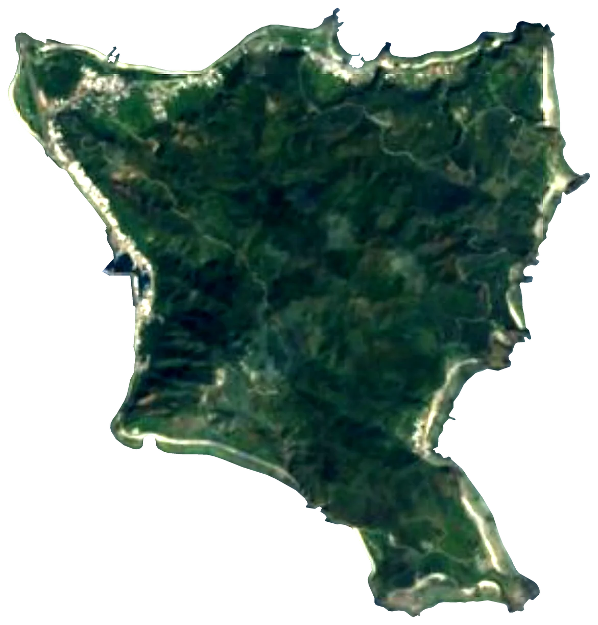 Green Island
 Taiwan15 km²86 m133 km away
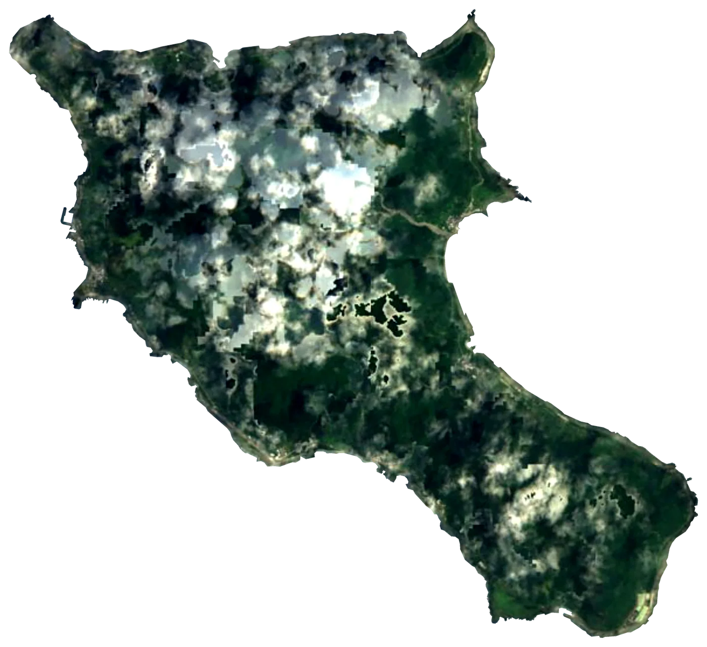 Orchid IslandTaiwan46 km²185 m199 km away
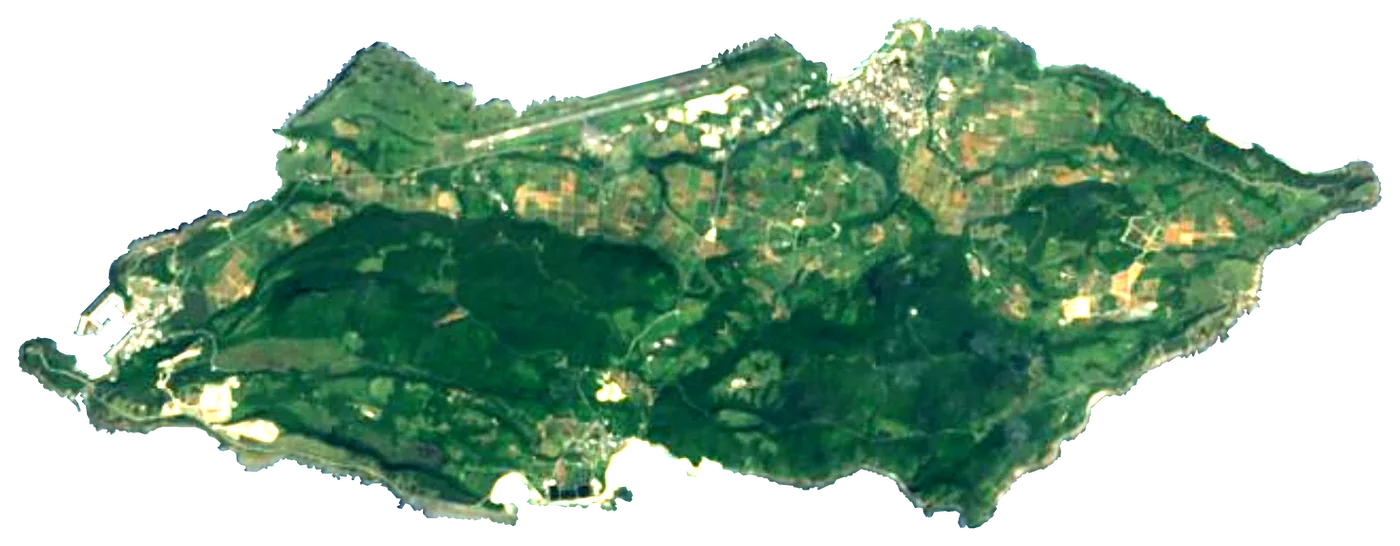 Yonaguni
 Japan29 km²231 m216 km away
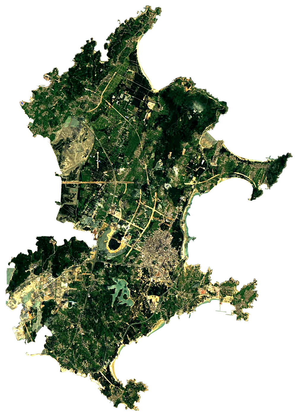 Pingtan Island
 China289 km²427 m233 km away
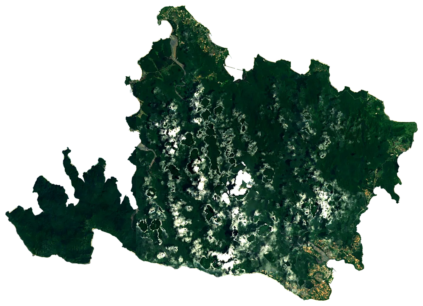 Iriomote IslandJapan290 km²470 m292 km away
 GulangyuChina2.0 km²76 m308 km away
 Ishigaki IslandJapan223 km²529 m332 km away
 Taketomi IslandJapan5.4 km²21 m320 km away
About these numbers
| Names, area, population | Wikidata (Q22502) · CC0 |
|---|---|
| Outline | Natural Earth · public domain |
| Sea temperature | NOAA OISST v2.1 · 1991–2020 |
| Climate | NASA POWER · 1991–2020 |
| Relief, 3D model | Copernicus DEM GLO-30 · © DLR e.V., © Airbus Defence and Space GmbH, Copernicus/ESA |
| Beaches, ports, lighthouses, trails | © OpenStreetMap contributors · ODbL |
| Towns | GeoNames · CC BY 4.0 |
| Images | EOX Sentinel-2 cloudless 2016 · CC BY 4.0; Wikimedia Commons |
| Beaches, mountains, lakes and waterfalls | Coastya, Lakeyas, Cascadyas — Wikidata · CC0; © OpenStreetMap contributors · ODbL; GeoNames · CC BY 4.0; NOAA OISST; HydroLAKES (Messager et al. 2016) · CC BY 4.0, LakeTEMP (Korver et al. 2024) · CC BY 4.0 |
Every figure is an average, an estimate or a count from a public dataset. Licences and methods: data sources.
The family
Do you prefer beaches, lakes, mountains, waterfalls, islands, rivers or canyons?
Same idea, other landscapes: field atlases built on open data, month by month, in seven languages.
beaches Find your beach: sea temperature, sun and swimming month by month.Visit lakes
 Every lake on Earth: water temperature, ice, depth and the shore.Coming soonVisit
  mountains
 Every summit in 3D: summit weather, the 0 °C line, huts and trails.Visit waterfalls
 Every waterfall: height, flow month by month and when it roars.Coming soonVisit
  islands
 Every island from the sea up: size, sea temperature, ferries and 3D.You are here
 rivers
 Every river from source to sea: the journey, the flow and the basin in numbers.Visit
  canyons
 Every canyon cut to scale: depth to the floor, rim and floor temperatures, trails and viewpoints.Coming soonVisit