Archipel
Azoren
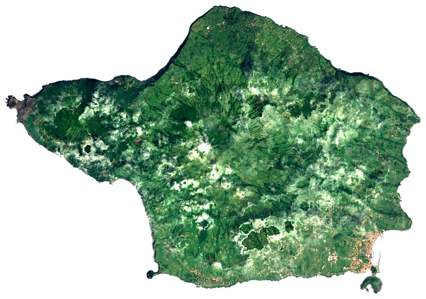
3 eilanden van Azoren, vergeleken: grootte, zee en beste tijd om te gaan.
De zee door het jaar (gemiddelde van deze eilanden)
17°Jan16°Feb16°Mrt16°Apr17°Mei19°Jun22°Jul23°Aug23°Sep21°Okt19°Nov18°Dec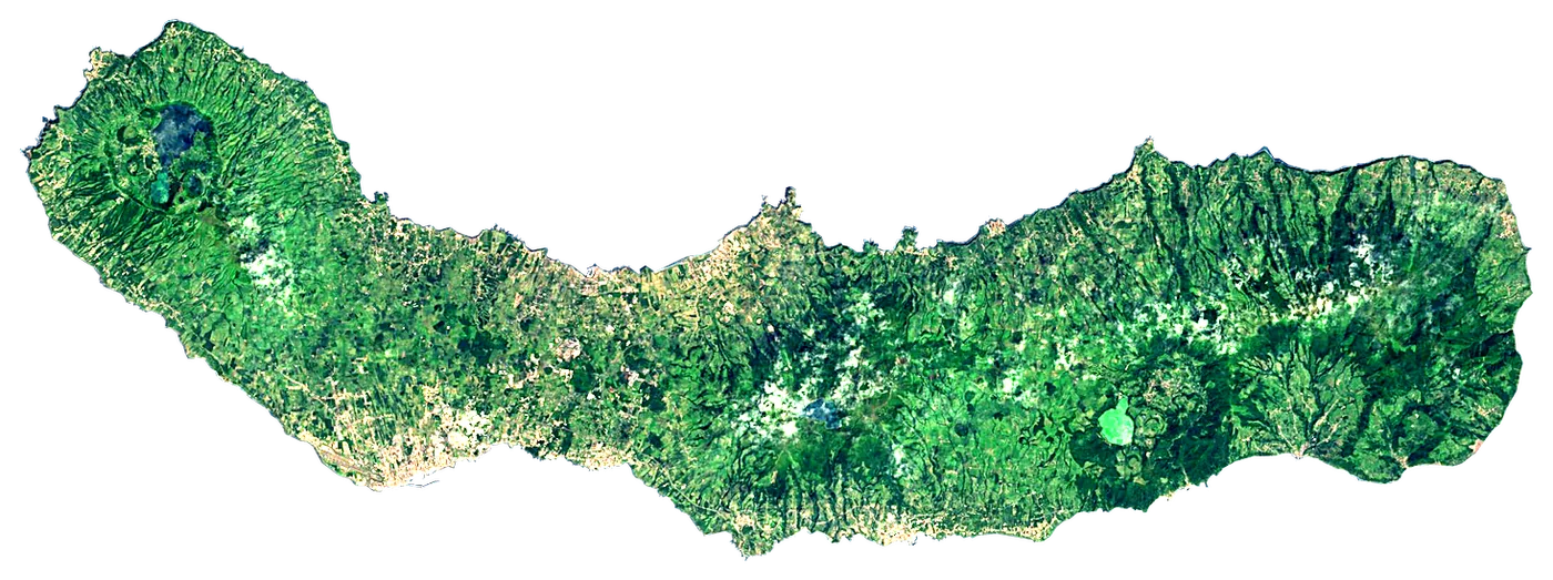
 Portugal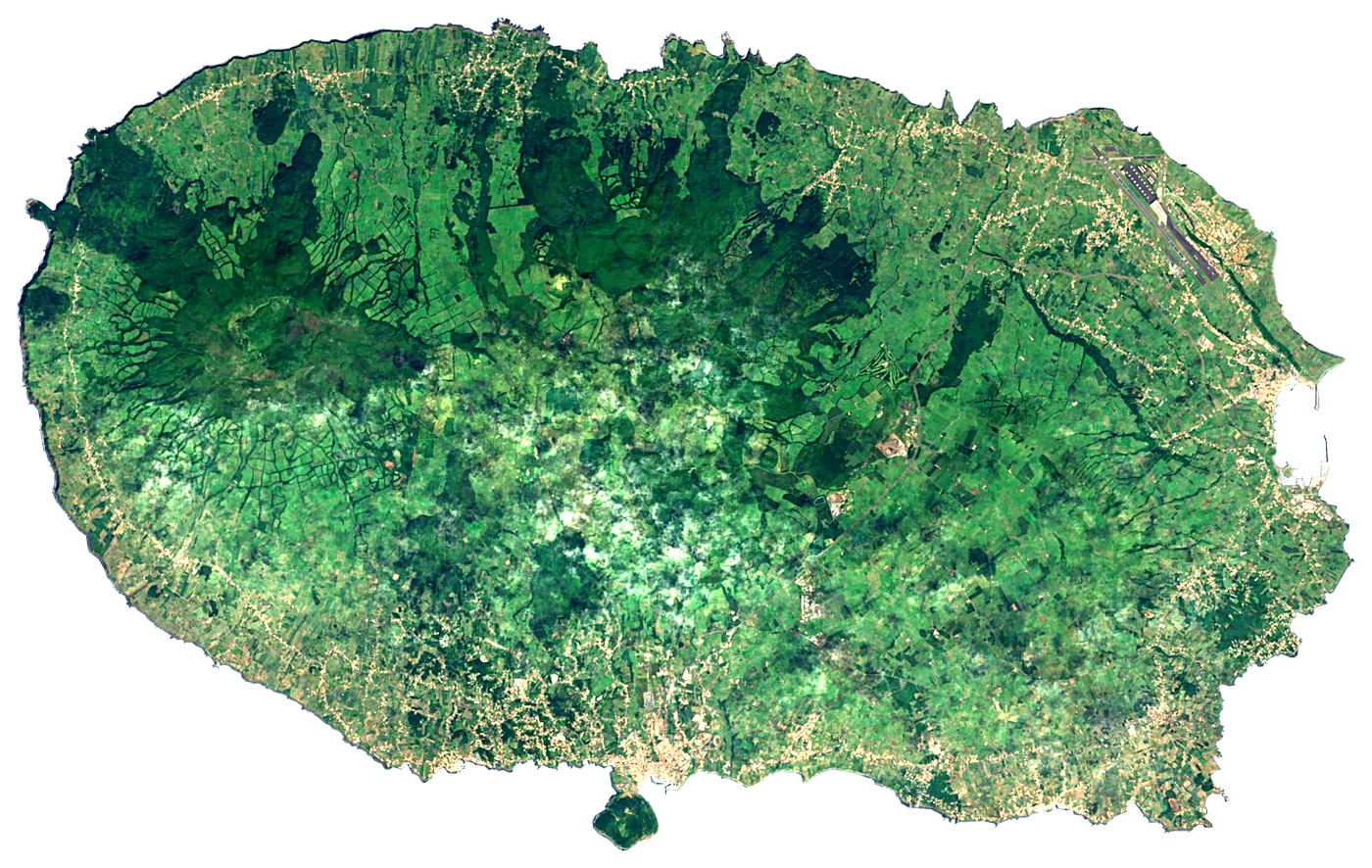
De familie
Liever strand, meer, bergen, watervallen, eilanden, rivieren, canyons, grotten, sterrenhemel, uitzichtpunt, vogels kijken of bossen?
Hetzelfde idee, andere landschappen: veldatlassen uit open data, maand na maand, in zeven talen.
 strand
 Vind je strand: zeetemperatuur, zon en zwemmen maand na maand.Bezoeken
  meer
meer De meren van de wereld: watertemperatuur, ijs, diepte en oevers.Bezoeken
  bergen
 Elke top in 3D: weer op de top, nulgradengrens, hutten en paden.Bezoeken
  watervallen
 De watervallen van de wereld: hoogte, debiet per maand en wanneer ze bulderen.Bezoeken
  eilanden
 Elk eiland vanaf zee: grootte, zeetemperatuur, veerboten en 3D.Je bent hier
 rivieren
 Elke rivier van bron tot monding: de reis, het debiet en het stroomgebied in cijfers.Bezoeken
  canyons
 Elke canyon op schaal doorgesneden: diepte tot de bodem, temperaturen op de rand en de bodem, paden en uitkijkpunten.Bezoeken
  grotten
 Elke grot met zijn echte diepte en lengte: de rots erboven, de temperatuur binnen het hele jaar en hoe je hem bezoekt.BinnenkortBezoeken
  sterrenhemel
 Waar de nacht nog donker is: de hemel van elke plek, de Melkweg maand na maand, de maan, verduisteringen en het noorderlicht.BinnenkortBezoeken
  uitzichtpunt
 Elk uitzichtpunt met zijn echte 360°-panorama: de toppen die je ziet, hoe ver je kijkt en waar de zon ondergaat.BinnenkortBezoeken
  vogels kijken
 Elk vogelreservaat en wetland met de waargenomen soorten maand na maand: standvogels, zomergasten en doortrekkers.BinnenkortBezoeken
  bossen
 Elk bos met zijn ringen van bodembedekking, wat er groeit en leeft, en de beste maanden om er te wandelen.BinnenkortBezoeken