Pays
Îles par pays
Des guides d'îles dans 161 pays.
Afrique
 Algérie3
 Angola1
 Cameroun3
 Cap-Vert9
 Comores3
 Djibouti3
 Égypte3
 Guinée équatoriale3
 Érythrée3
 Ghana1
 Guinée3
 Guinée-Bissau3
 Côte d'Ivoire1
 Kenya3
 Liberia2
 Madagascar5
 Mauritanie3
 Maurice4
 Maroc3
 Mozambique3
 Namibie3
 Nigeria3
 Sainte-Hélène, Ascension et Tristan da Cunha2
 Sao Tomé-et-Principe3
 Sénégal3
 Seychelles4
 Sierra Leone2
 Somalie3
 Afrique du Sud3
 Soudan1
 Tanzanie3
 Tunisie3
Asie
 Azerbaïdjan3
 Bahreïn4
 Bangladesh3
 Territoire britannique de l’océan Indien3
 Brunei3
 Cambodge3
 république populaire de Chine12
 Hong Kong1
 Inde15
 Indonésie69
 Iran6
Iran6 Japon40
 Kazakhstan3
 Koweït3
 Malaisie6
 Maldives3
 Birmanie3
 Corée du Nord3
 Oman3
Oman3 Pakistan3
 Philippines46
 Qatar3
 Arabie saoudite3
 Singapour3
 Corée du Sud5
 Sri Lanka3
 Syrie1
 Taïwan3
 Thaïlande4
 Turquie6
 Turkménistan2
 Émirats arabes unis4
 Vietnam3
 Yémen5
Europe















Amérique du Nord
 Anguilla2
 Antigua-et-Barbuda3
 Aruba3
 Bahamas11
 Barbade2
 Belize3
 Bermudes1
 îles Vierges britanniques1
 Canada44
 îles Caïmans1
 Costa Rica3
 Cuba3
Cuba3 Curaçao2
 Dominique1
 République dominicaine3
 Salvador3
 Groenland6
 Grenade3
 Haïti3
 Honduras3
 Jamaïque3
 Mexique5
 Nicaragua2
 Panama3
 Porto Rico2
 Saint-Christophe-et-Niévès3
 Sainte-Lucie3
 Saint-Martin1
 Saint-Vincent-et-les-Grenadines4
 Saint-Martin1
 Trinité-et-Tobago3
 Îles Turques et Caïques3
 États-Unis70
Océanie


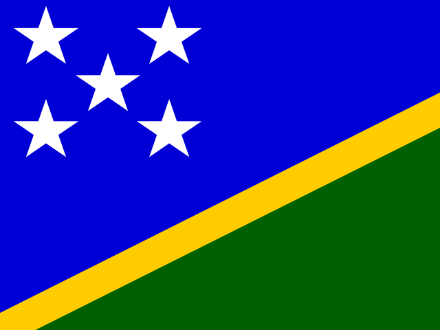

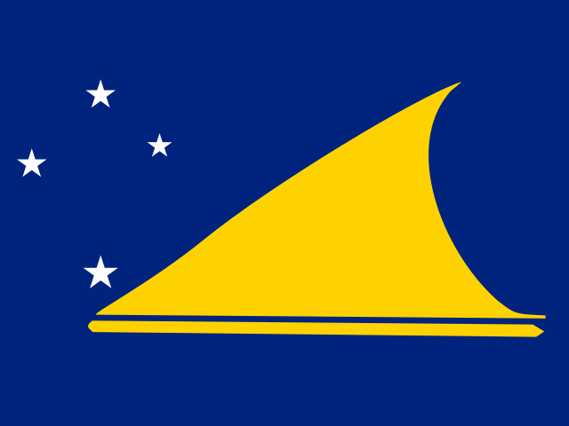

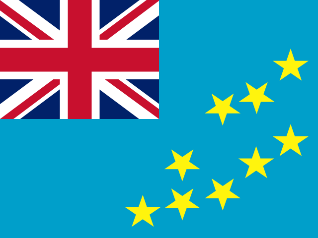
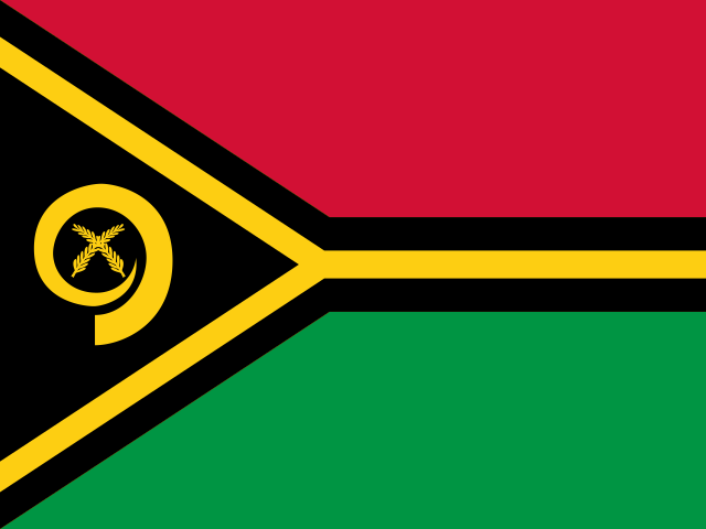


La famille
Vous préférez la plage, le lac, la montagne, la cascade, l'île, la rivière, le canyon, la grotte, le ciel nocturne, le belvédère, l'observation des oiseaux ou les forêts ?
La même idée, d'autres paysages : des atlas de terrain construits sur des données ouvertes, mois par mois, en sept langues.
 la plage
 Trouvez votre plage : température de la mer, soleil et baignade mois par mois.Visiter
  le lac
 Les lacs du monde : température de l'eau, glace, profondeur et rives.Visiter
  la montagne
 Chaque sommet en 3D : météo au sommet, isotherme 0 °C, refuges et sentiers.Visiter
  la cascade
 Les cascades du monde : hauteur, débit mois par mois et quand elles grondent.Visiter
  l'île
l'île Chaque île vue de la mer : taille, température de l'eau, ferries et 3D.Vous êtes ici
 la rivière
 Chaque rivière de la source à l'embouchure : le voyage, le débit et le bassin en chiffres.Visiter
  le canyon
 Chaque canyon coupé à l'échelle : profondeur jusqu'au fond, températures au bord et au fond, sentiers et belvédères.Visiter
  la grotte
 Chaque grotte avec sa profondeur et sa longueur réelles : la roche au-dessus, la température à l'intérieur toute l'année et comment la visiter.BientôtVisiter
  le ciel nocturne
 Là où la nuit est encore noire : le ciel de chaque lieu, la Voie lactée mois par mois, la Lune, les éclipses et les aurores.BientôtVisiter
  le belvédère
 Chaque belvédère avec son vrai panorama à 360° : les sommets visibles, jusqu'où porte la vue et où se couche le soleil.BientôtVisiter
  l'observation des oiseaux
 Chaque réserve ornithologique et zone humide avec les espèces observées mois par mois : les sédentaires, les estivants, les migrateurs de passage.BientôtVisiter
  les forêts
 Chaque forêt avec ses anneaux d'occupation du sol, ce qui y pousse et y vit, et les meilleurs mois pour la parcourir.BientôtVisiter